Before Mecca, there were the Egyptians, the Hittites, the sea peoples, and Abraham.
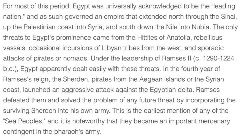
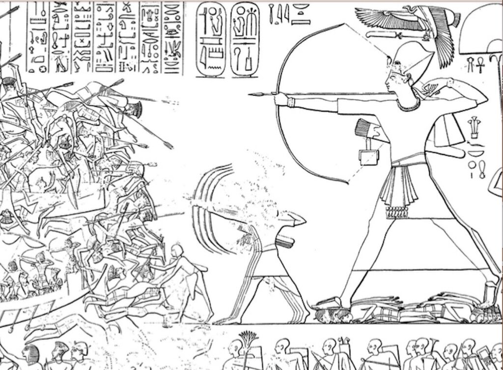
The Philistine sea peoples attempted to invade Egypt by land, and were pushed back to their camps in the Gaza strip. Later, after defeating the Sherden sea peoples in the Nile delta, Pharoh Ramses solved the problem of future threats by incorporating surviving captives into his own army.
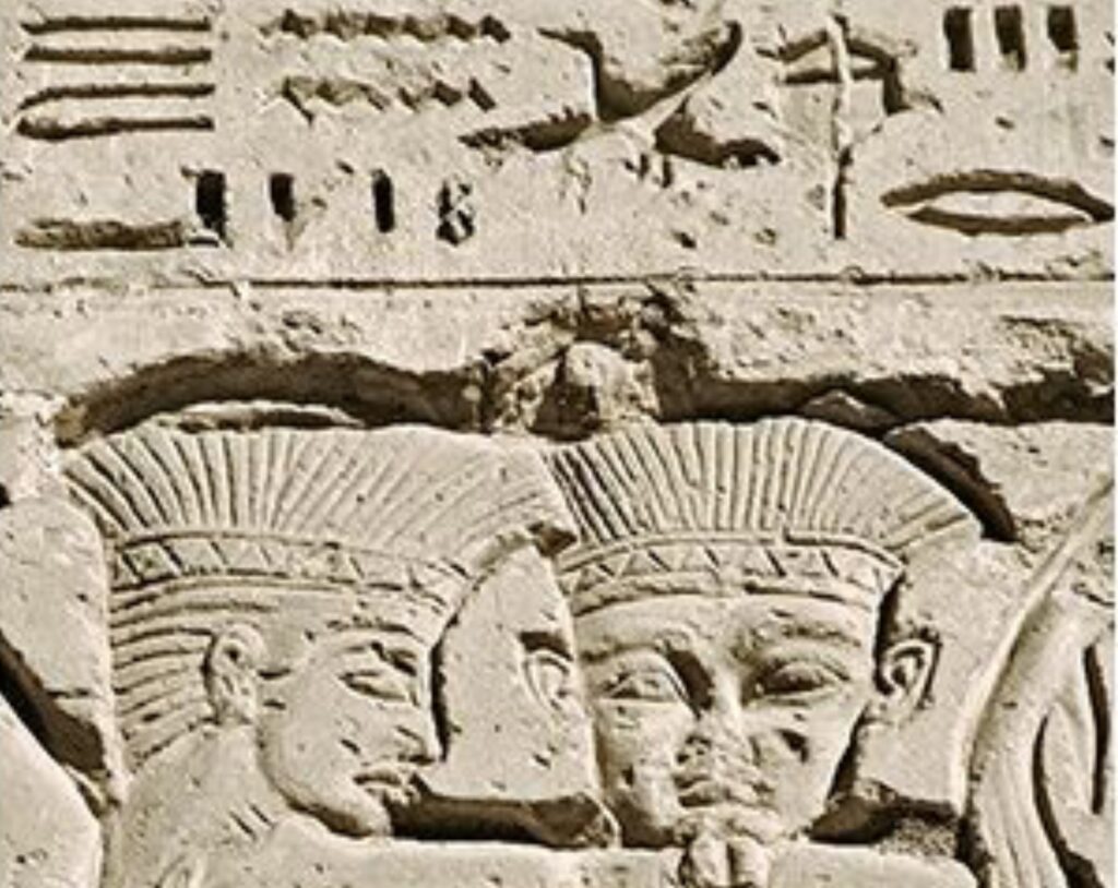
The sea peoples also raided the Hittite coast, in what we now call Anatolia of south east Turkey.
The sea peoples and Egyptians were enemies of the Hittites.
After Ramses signed a Hittite peace treaty, the Egyptian Sherden may have joined the Philistines and other sea peoples in the Gaza strip, further protecting Egypt from the Hittites.
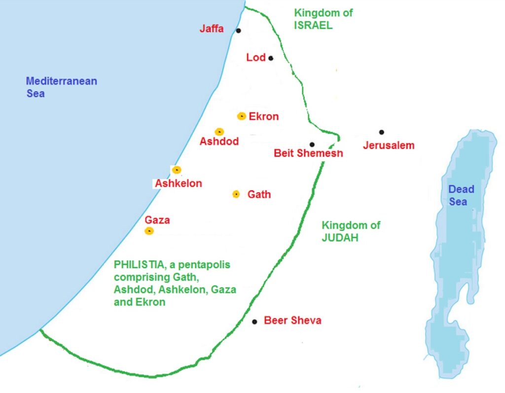
The boundry between Egypt and the Sherden, Philistines and other sea peoples, was called the River of Egypt, flowing from Beersheba and Gerar to the sea.

Note how close Abraham’s Beer Sheva is, to what we now call Palestine.
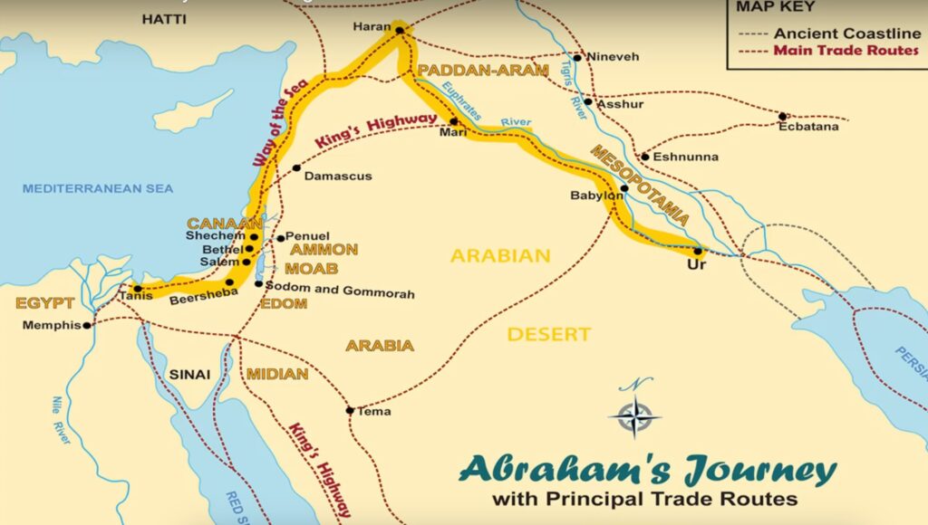
Most of the following is in the Fertile Crescent from southern Iraq, Assyria, southern
Hittite Turkey, along the Euphrates, to Syria, then down the coast to Palestine.

How did Abraham get to Beer Sheba?
After the Lord called him to go to a yet-to-be-revealed place, Abraham walked with his sheep and part of his Family from Ur, passing near Uruk and Babylon, to Haran in South East Turkey, where his Father died. They returned to Syria, as shown on the map below.
Saddam Hussein had the ruins of the flat topped ziggurat of Ur rebuilt, as shown in this Gulf War photo.

Abraham’s family should have seen the white temple at Uruk, as their sheep grazed along the Euphrates river.

Below, are the ruins of Uruk in modern times.

Cuneiform evolved from Proto-cuneiform, as man taught himself to write.

The idea, that man taught himself to write, contradicts the Koran; which says that the Lord Allah taught man to write.

Moslems may say that the account of Abraham’s group along the Euphrates, past Babylon and Mari to Haran, and then back down to Syria and Beersheba, is only a Jewish tale from the Torah or Christian Old testament; however, the Koran itself says that those books were revealed by Allah. (the Book in truth, is the Furqan, now Surah 25). The last word in 003-003 is actually Injeel, after the Greek word for “Good News”, which is what the Christian New Testament Gospel was called.

At Mari, thousands of tablets were found, confirming Genesis in the Torah/Old Testament
In the land of Canaan, Abraham’s and Lot’s sheep herds had grown so large, that they were competing for grazing land.

It seems that during Abraham’s time, the Dead/Salt Sea had fresh water, and Sodom was destroyed in an earth quake which lowered the Sea, leaving only the usually dry Wadi Arabah to carry salty flood water from the rift to the Gulf of Aqaba.
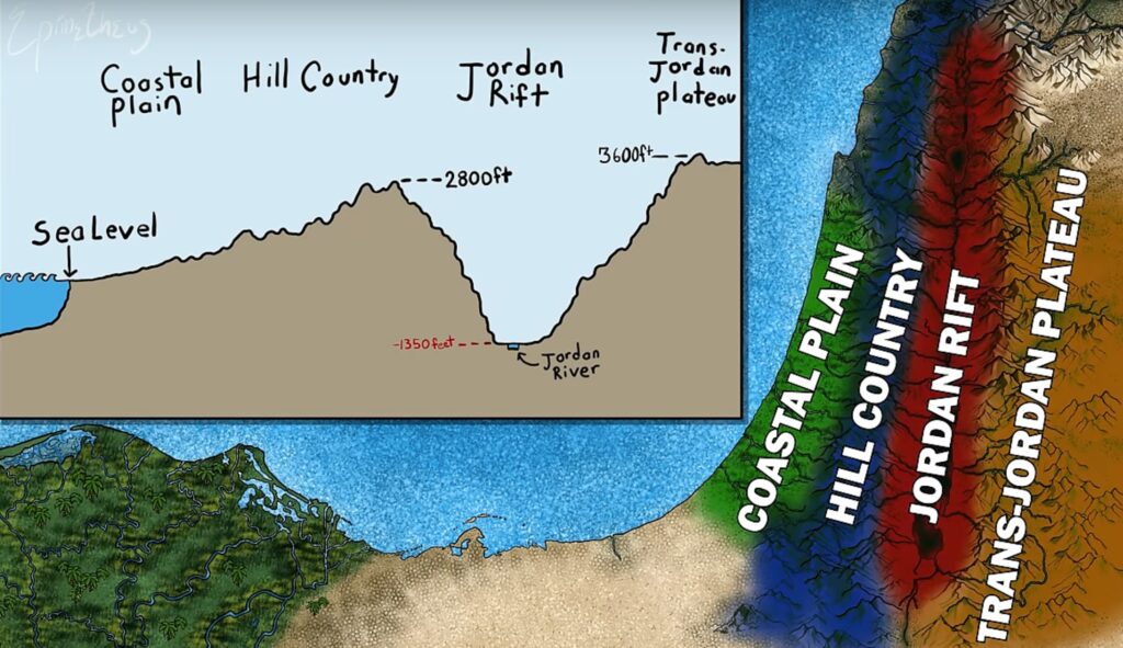
Elevation in the Land of Canaan went from sea level to the lowest point on earth, rising again to the Trans-Jordan plataeu.
Below is an 82 mile / 132 km slice of the terrain thru Beersheba.
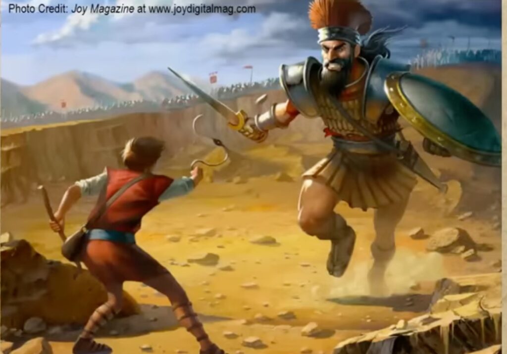
Israel was again at war with the Philistines, and the battle was to be decided by combat with each side’s champions.

Below, the King’s highway went east from Egypt, then north, past Damascus.
Passes, between Beersheba and Petra, are also shown.
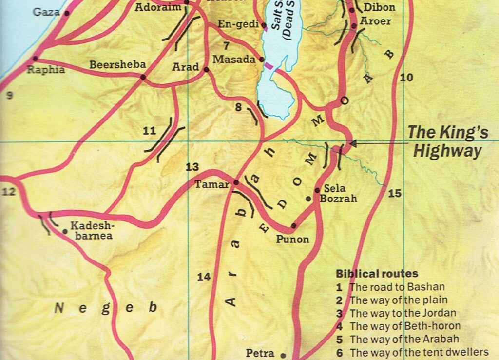
A straight line from Abraham’s Beersheba to Petra, is only about 75 miles or 120 km.
Mecca is about ten times further at 750 miles or 1200 km.
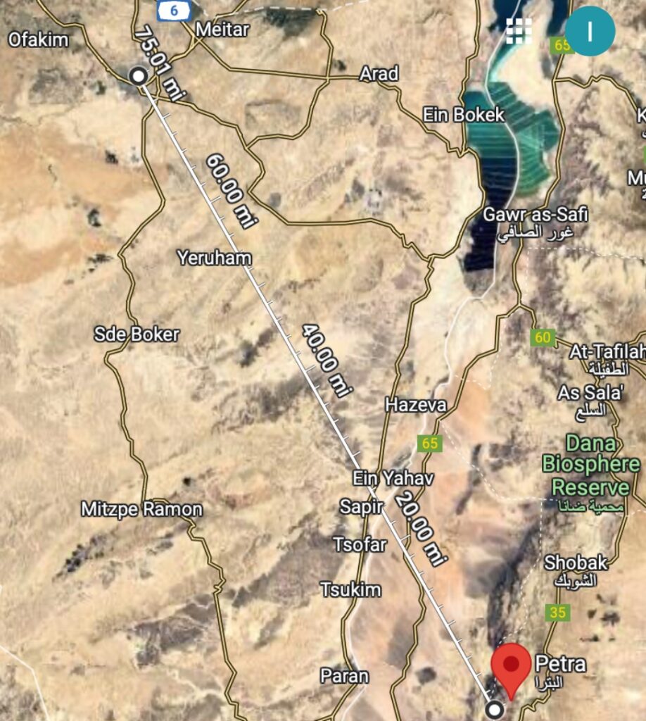
Petra is near the Junction of the King’s Highway, and a road from Babylon.

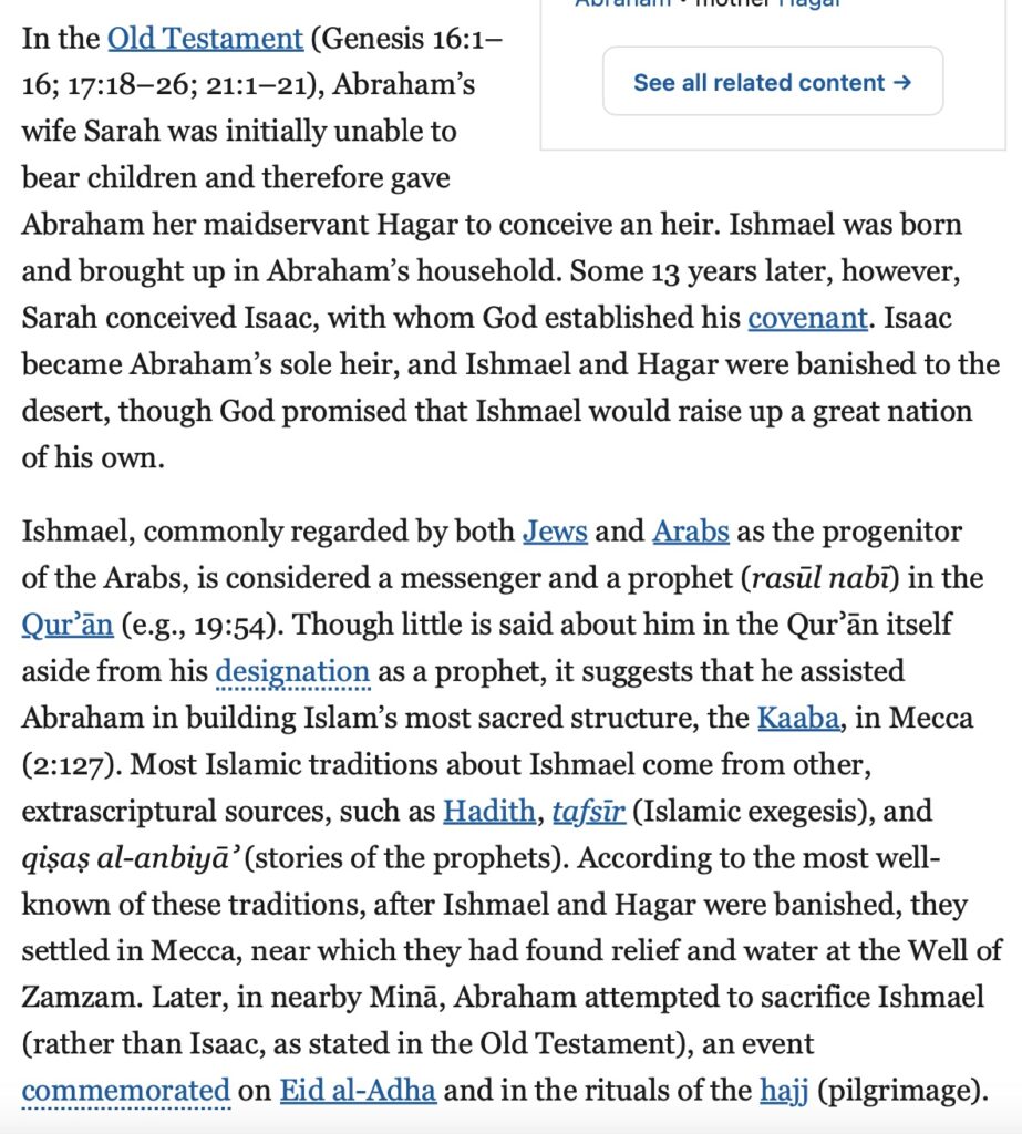
When Hagar was banished to the desert, did she travel 75 miles/120 km from Beersheba to Petra; or, 750 miles/1200 km to the well of Zamzam between the Safa and Marwa “hills” in Mecca?
Dan Gibson used the oldest muslim prayer direction walls, to prove that Petra was Muhammad’s city.
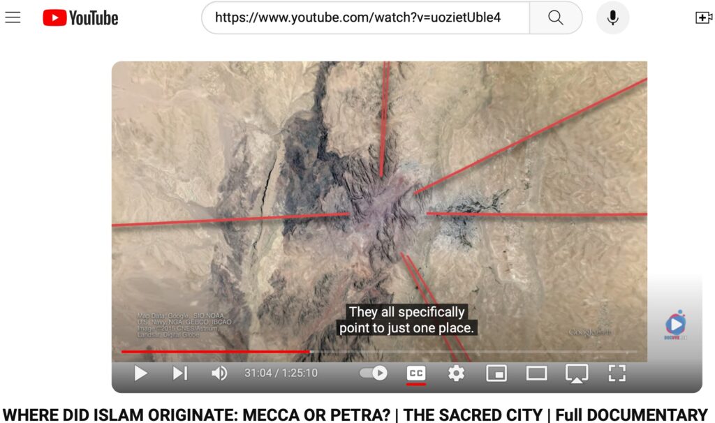
The Saudis would have you believe that Hagar’s Safa and Marwa “hills” are rocks currently inside a building, next to the circle, around the large, black Kaaba.
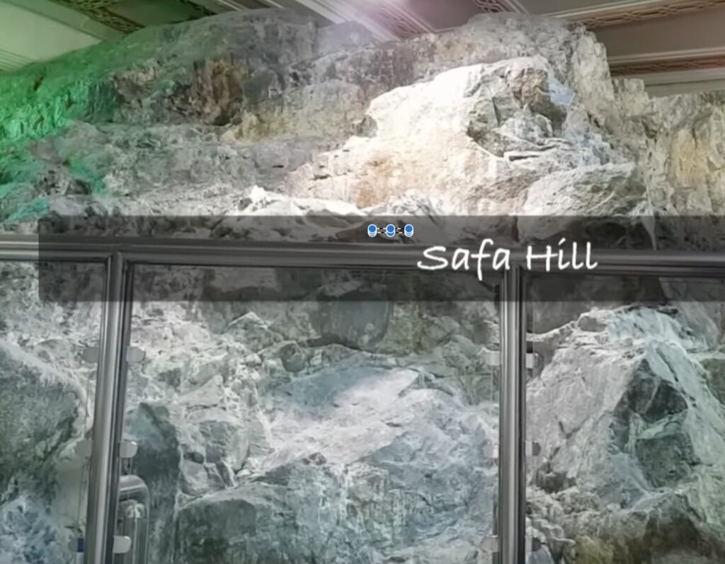
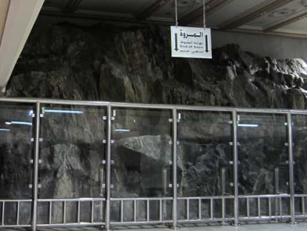
Above, are the indoor “hills” of Safa and Marwa.
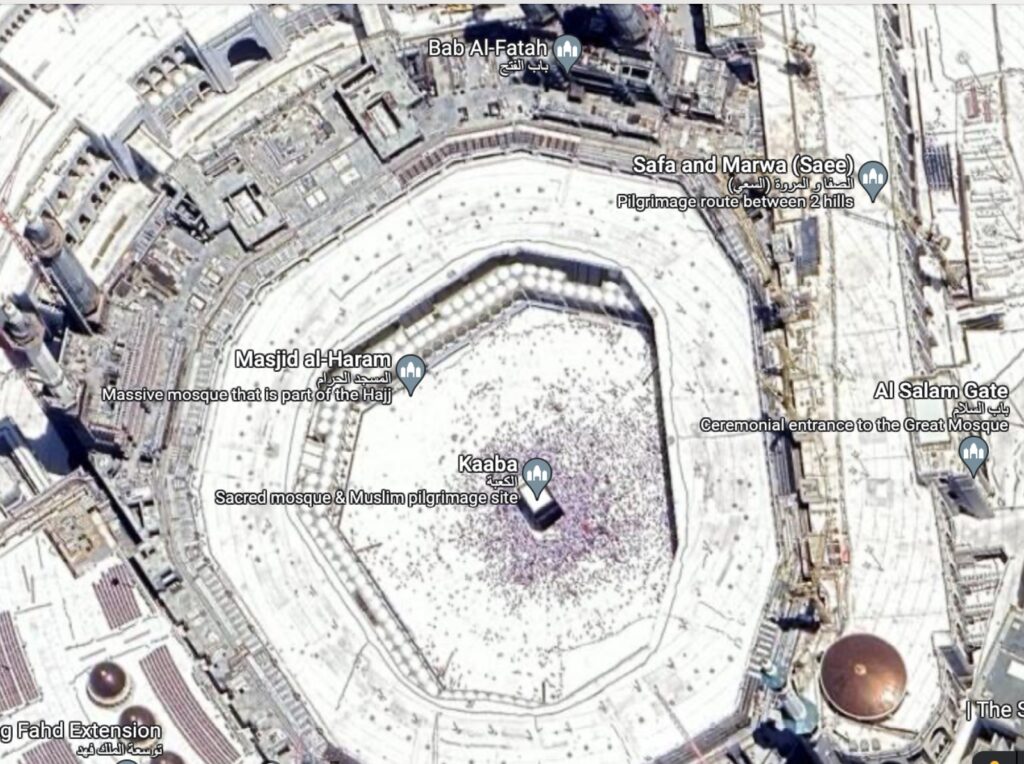
Above, is the Kaaba circle next to an indoor area, with the Safa and Marwa rocks.
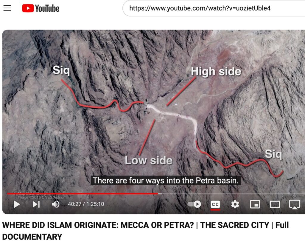
If Ishmael and Hagar’s Zamzam well between Safa, and Marwa are in Petra, they may have headed east from Beersheba, and crossed a usually dry Wadi Arabah to enter the thaniya crack in the rocks, or western Siq.
As Dan Gibson pointed out in his Holy City video, it looks like the 048-024 reference to Mecca, may have been an alteration of the word Becca. After a destructive earthquake killed many people, Petra became known as a place of sorrow, or the Bakkah in 003-096.
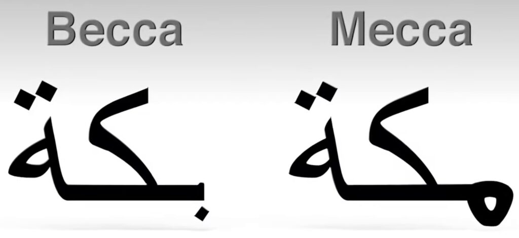
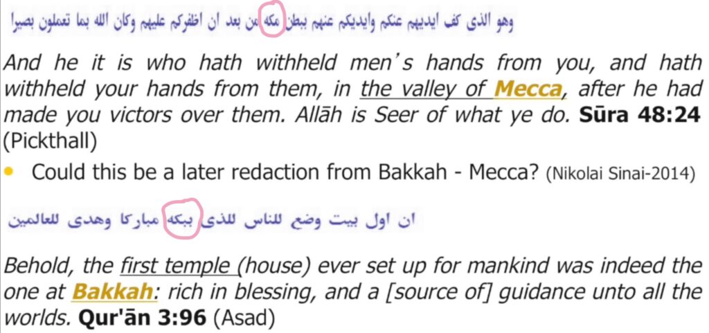
Of course, Mecca is NOT in a valley.
Jay Smith’s Mecca video: